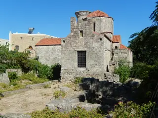
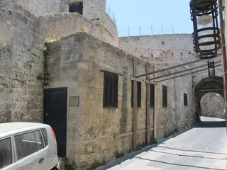
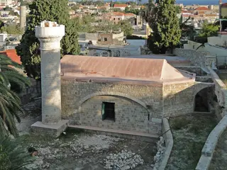
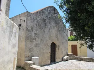
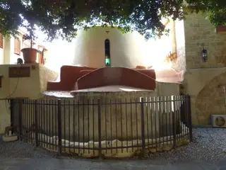
Photographs
Sources
- Wikidata – Q38280222 (wikidata.org)
- OpenStreetMap – way 283080436 (openstreetmap.org)
Location and basic details from OpenStreetMap (openstreetmap.org) — © OpenStreetMap contributors, ODbL licence.
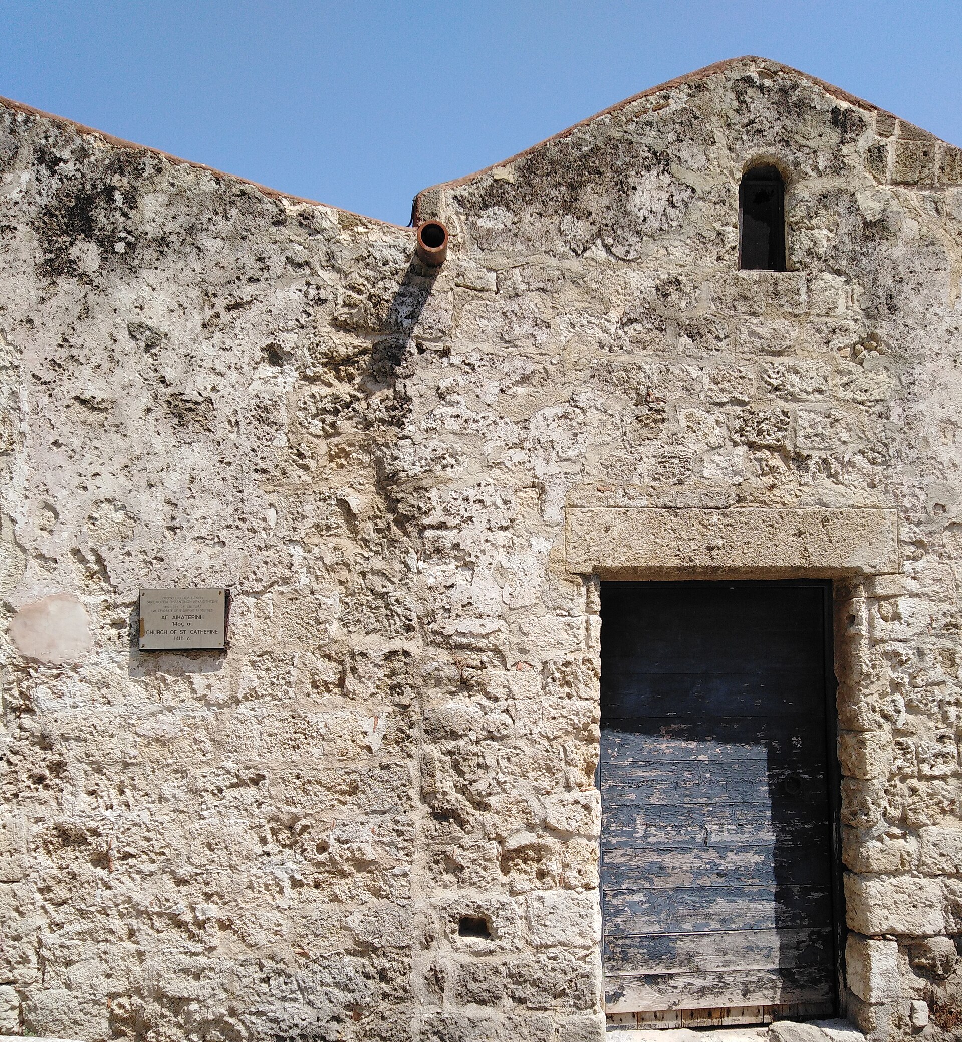
Location and basic details from OpenStreetMap (openstreetmap.org) — © OpenStreetMap contributors, ODbL licence.
St. Catherine
Rodos Municipality, Greece · Dodecanese
36.440938, 28.229869
Approximate location – not yet verified.