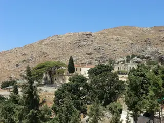
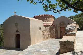
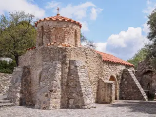
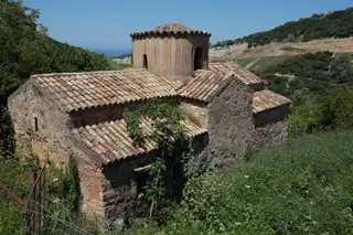
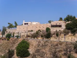
Photographs
Sources
- Wikidata – Q38279831 (wikidata.org)
- OpenStreetMap – node 3743111530 (openstreetmap.org)
Location and basic details from OpenStreetMap (openstreetmap.org) — © OpenStreetMap contributors, ODbL licence.
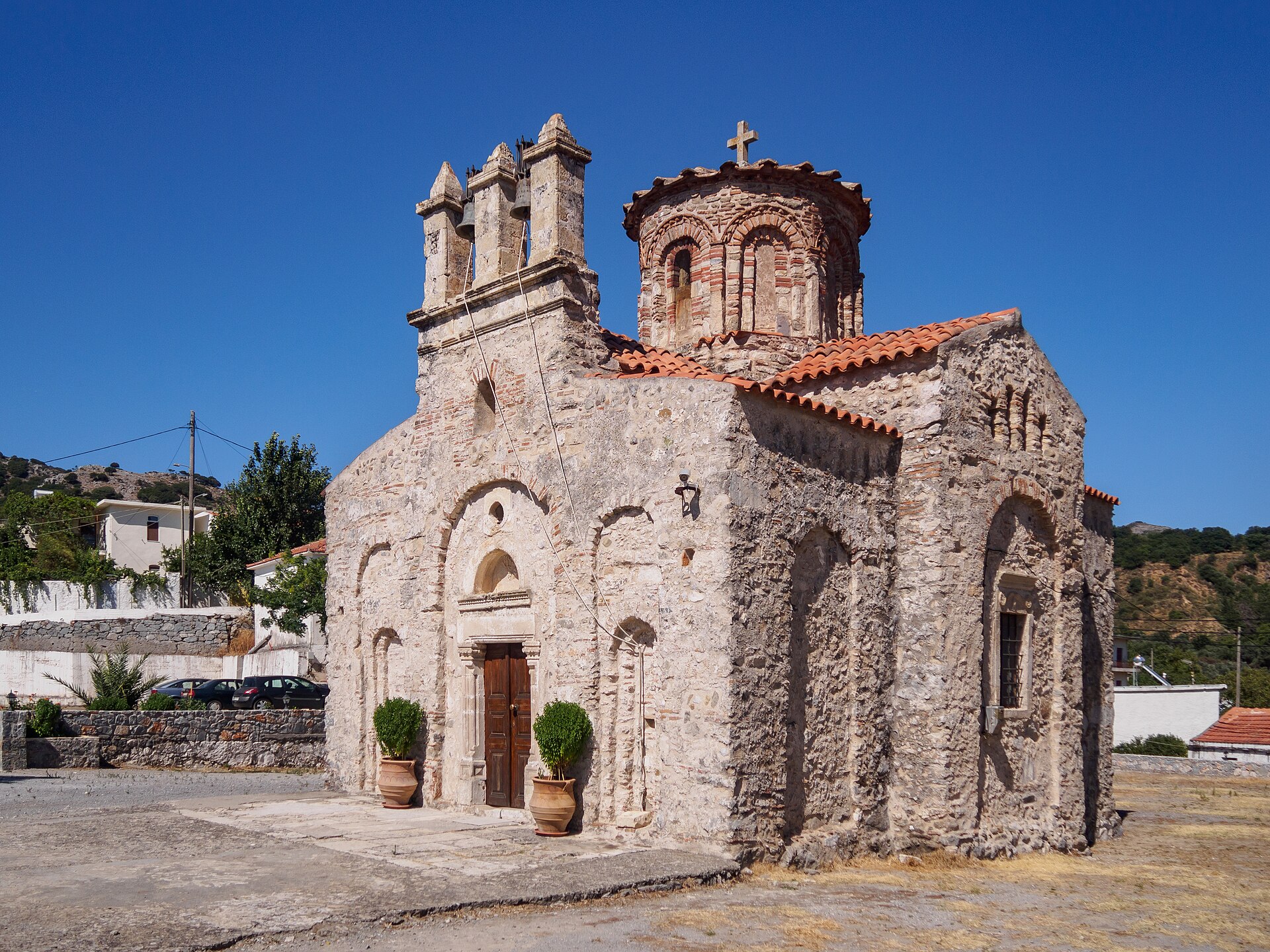
Ναός Παναγίας Λαμπηνής
Agios Vasileios municipality, Greece · Crete
Location and basic details from OpenStreetMap (openstreetmap.org) — © OpenStreetMap contributors, ODbL licence.
Church of Panagias Lambinis
Agios Vasileios municipality, Greece · Crete
35.225755, 24.508265
Approximate location – not yet verified.