Photographs
Sources
- Wikidata – Q134367004 (wikidata.org)
- OpenStreetMap – node 7656873238 (openstreetmap.org)
Location and basic details from OpenStreetMap (openstreetmap.org) — © OpenStreetMap contributors, ODbL licence.
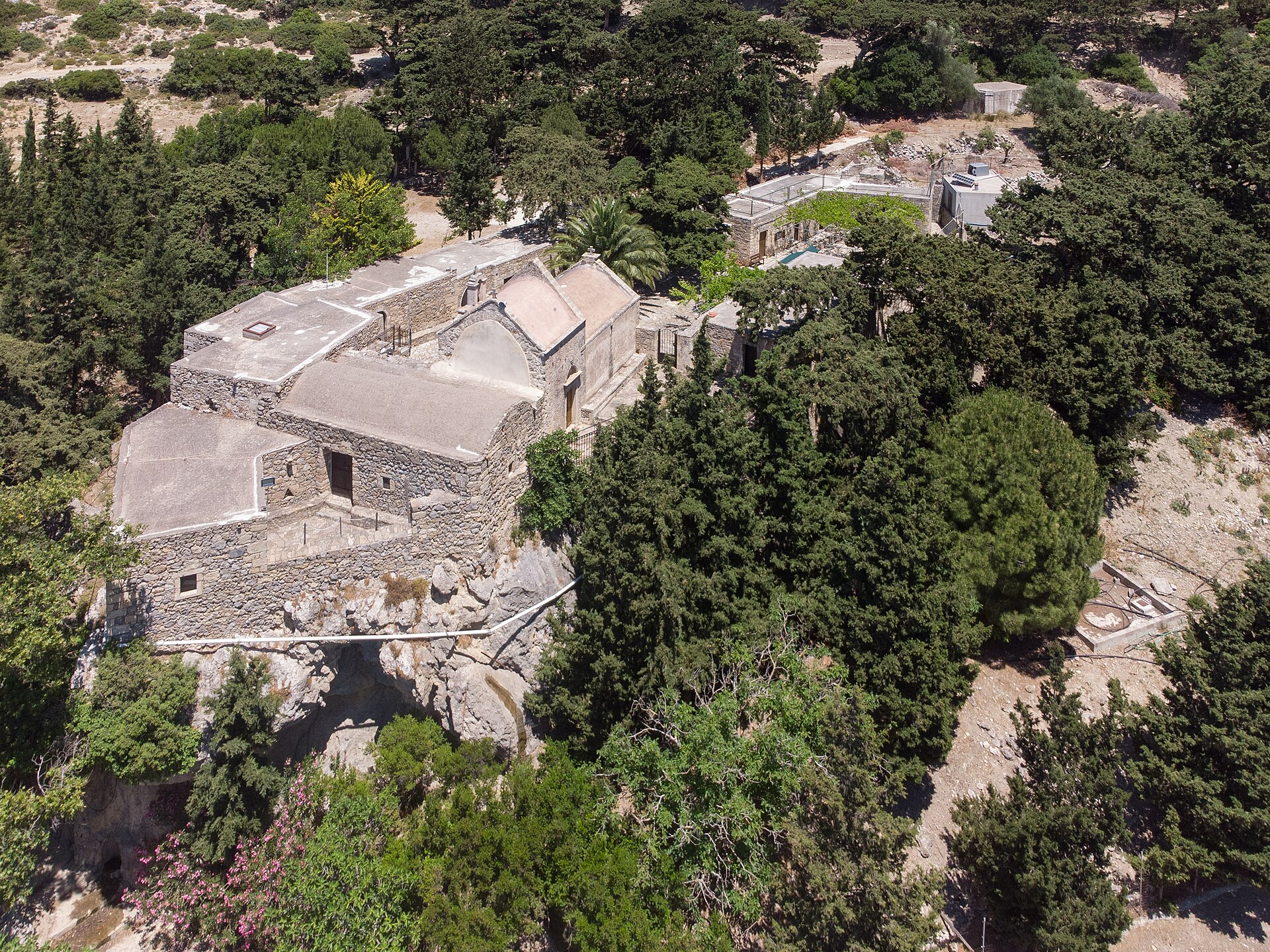
Μονή Παναγίας Βρυωμένης
Ierapetra Municipality, Greece · Crete
Location and basic details from OpenStreetMap (openstreetmap.org) — © OpenStreetMap contributors, ODbL licence.
Panagia Vryomeni monastery
Ierapetra Municipality, Greece · Crete
35.078198, 25.736185
Approximate location – not yet verified.