Photographs
Sources
- Wikidata – Q113004741 (wikidata.org)
- OpenStreetMap – way 505298200 (openstreetmap.org)
Location and basic details from OpenStreetMap (openstreetmap.org) — © OpenStreetMap contributors, ODbL licence.
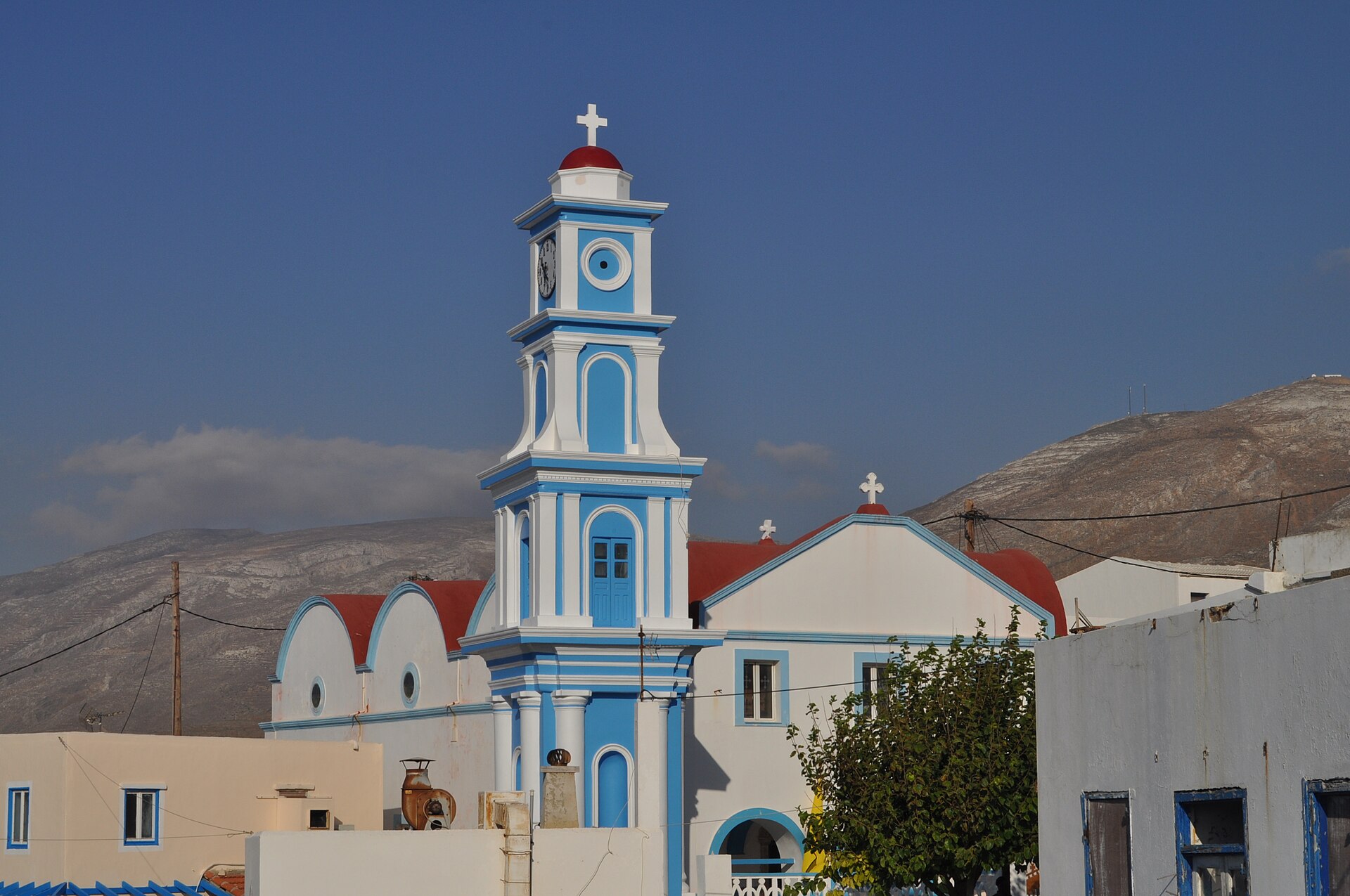
Άγιος Σπυρίδωνας
Kasos Municipality, Greece · Dodecanese
Location and basic details from OpenStreetMap (openstreetmap.org) — © OpenStreetMap contributors, ODbL licence.
Church of Agios Spyridon, Fry
Kasos Municipality, Greece · Dodecanese
35.417327, 26.922883
Approximate location – not yet verified.